top of page

PointBase
®
From LiDAR scans to usable 2D and 3D assets, with a workflow built for rapid delivery.
Faster workflow
Go from scan to deliverables in a fraction of the time.

Faster workflow
Go from scan to deliverables in a fraction of the time.

No third-party reliance
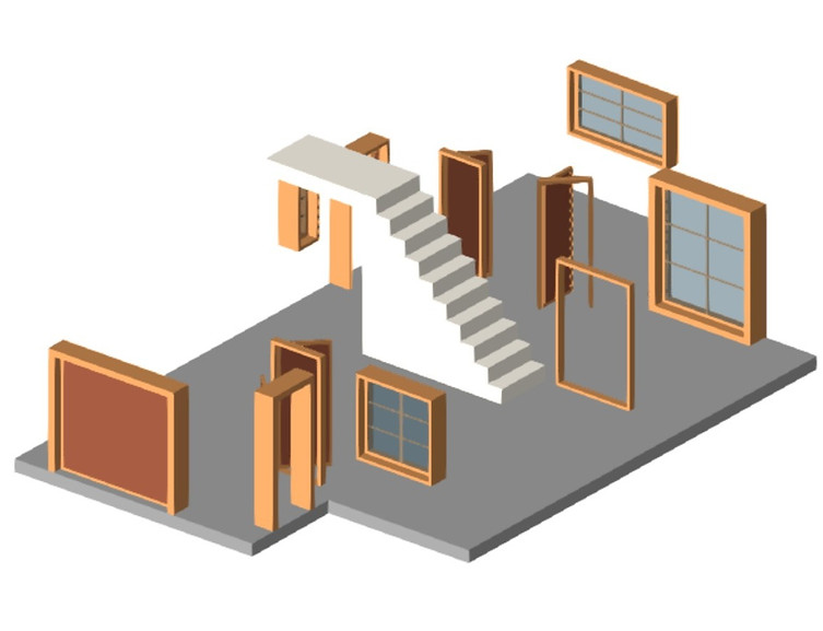
Review and refine 2D & 3D auto-extracted assets.

Unlimited projects
Process locally.
No cloud uploads.

Less manual drafting
Automated extraction reduces repetitive work.

CAD-ready outputs
Import into your existing CAD workflow.
No complex CAD process
Simple, intuitive, and built for production.
PointBase is for surveying and AEC teams who want to reduce the time, skill dependency, and manual effort involved in turning LiDAR scans into usable 2D and 3D deliverables.
Products
COMING SOON
PointBase - Classify
COMING SOON
PointBase - Verify
COMING SOON
PointBase - 3D IFC
COMING SOON
PointBase - Floor Plan


bottom of page